
How Geology Shapes Our Cities: From Lagos Foundations to Kaliningrad’s Amber Legacy
Earlier this year, I shared a conversation with a fellow course mate that quickly turned into a deep reflection: how does geology influence urban planning?
It’s easy to think of city planning as something solely driven by architects and engineers, but beneath every street, structure, and skyline lies a story written by the Earth itself. While urban planners may sketch the city’s future, it’s geology that decides whether those blueprints can stand the test of time. Here’s how this relationship unfolds:
🔎 1. Land Suitability: Where Cities Take Root
Geological surveys provide critical insight into soil composition, rock structures, groundwater levels, and fault zones—all key to determining the best locations for development.
➡️ Take Lagos or Jakarta, both built on clay-heavy or reclaimed land. Their residents face regular foundation problems and devastating floods as a result.
🌋 2. Natural Hazards: Mapping the Risks
Earthquakes, landslides, and volcanic risks are all under geology’s domain. Urban planners rely on this data to implement zoning regulations and disaster mitigation strategies.
➡️ In Tokyo, seismic zoning is a way of life. In Rio de Janeiro’s favelas, landslide maps guide relocation and housing upgrades.
🧱 3. Building Materials: Sourcing from the Ground Up
Gravel, sand, limestone—urban expansion depends on these natural materials. Understanding their availability and impact is crucial for sustainable construction.
➡️ Over-extraction of sand in certain regions has led to environmental degradation and even criminal enterprise.
💧 4. Water Supply: Beneath the Surface
Aquifers and recharge zones are mapped by geologists to support safe and sustainable water infrastructure. Without this, cities risk saline intrusion, flooding, and land subsidence.
➡️ In places like Mexico City, uncontrolled groundwater extraction has led to alarming rates of land sinking.
🛠️ 5. Infrastructure Resilience: Engineering Meets Earth Science
From tunnels and bridges to skyscrapers and sewage systems, subsurface conditions affect every major infrastructure project.
➡️ In Istanbul, metro tunnels must navigate active fault zones—a challenge only solvable with precision geological data.
🌱 6. Environmental & Climate Resilience
Geologists assess contaminated soils and former industrial sites (brownfields), laying the groundwork for urban regeneration and green redevelopment.
➡️ Cities facing climate challenges, like Rotterdam, integrate geological insights into floodplain design and adaptation policies.
📈 7. Past & Future Growth: Reading the Land’s History
Geomorphology—the study of landforms—helps explain why cities developed in certain areas and identifies safe zones for future expansion.
➡️ For example, ancient trade cities were often built on riverbanks not just for commerce, but because of fertile alluvial soils.
Amber Mining in Antalya: A Geology Lesson Comes to Life
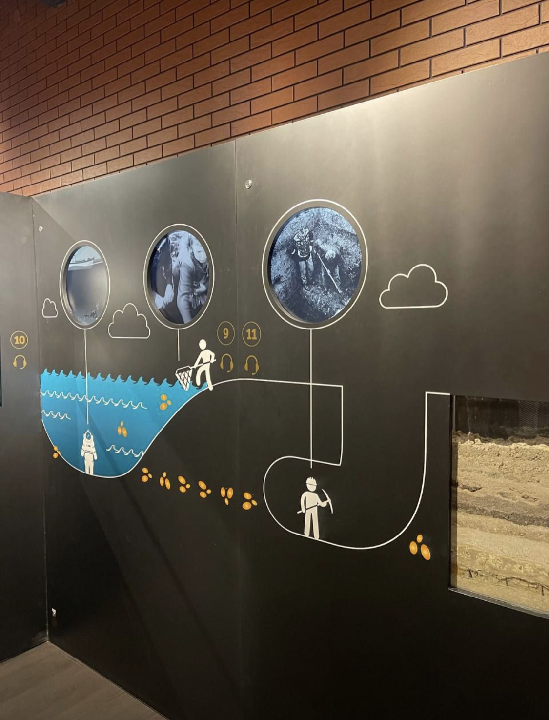
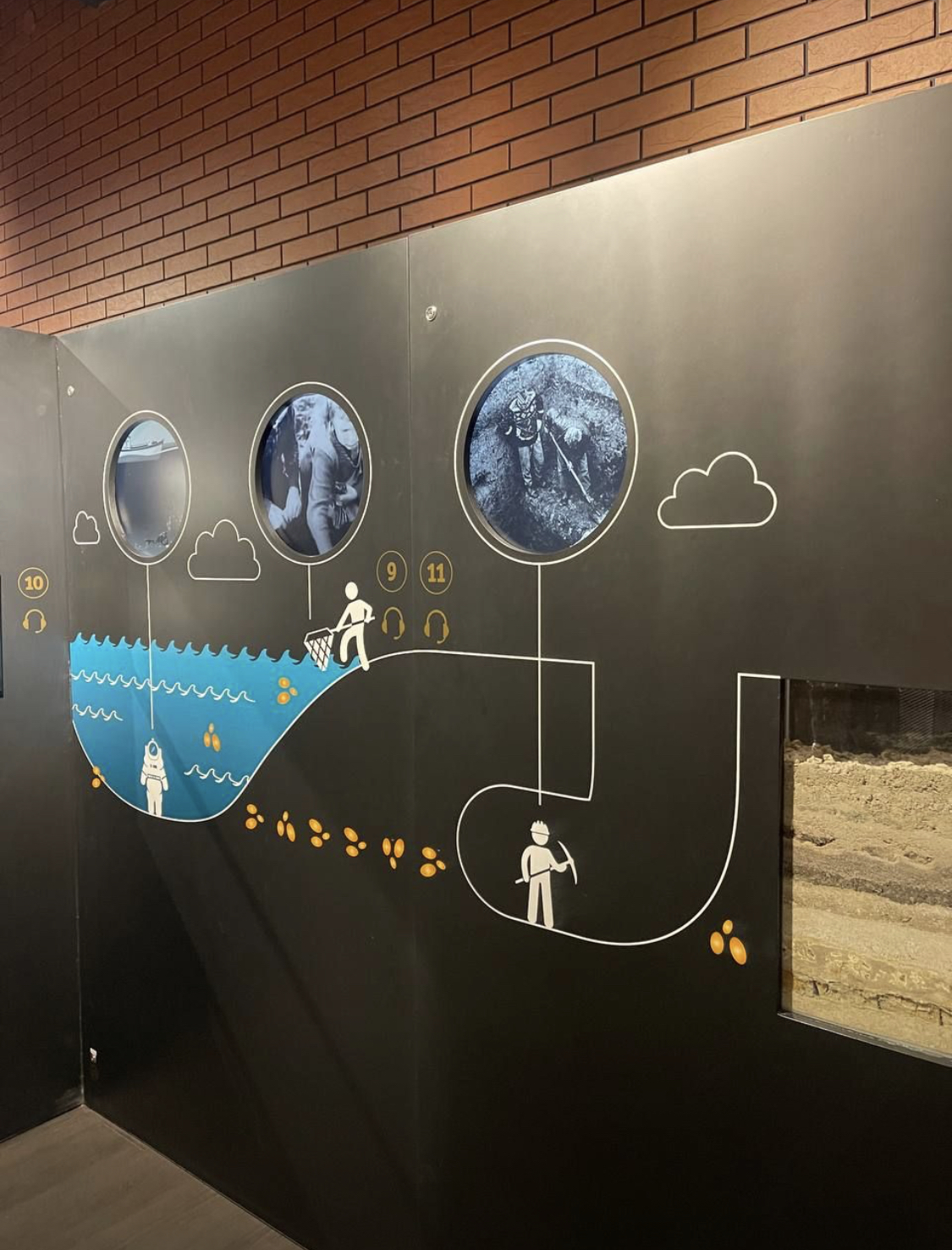
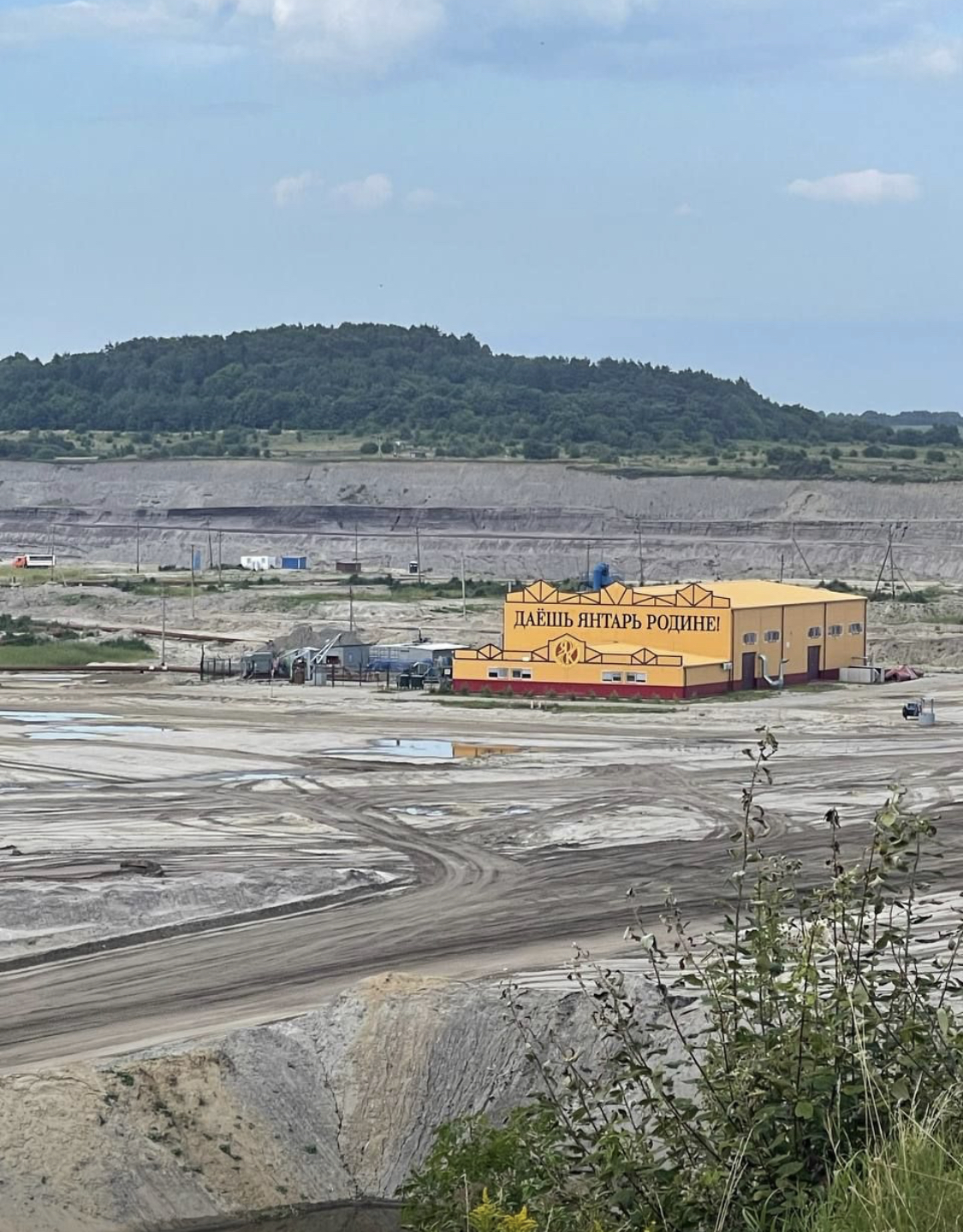
This theory became tangible when I recently visited the Amber Factory in Antalya. It wasn’t just a tourist stop—it was a living classroom. I learned how precious stones like amber are formed, extracted, and refined. I even mined amber myself—a rare and eye-opening experience!
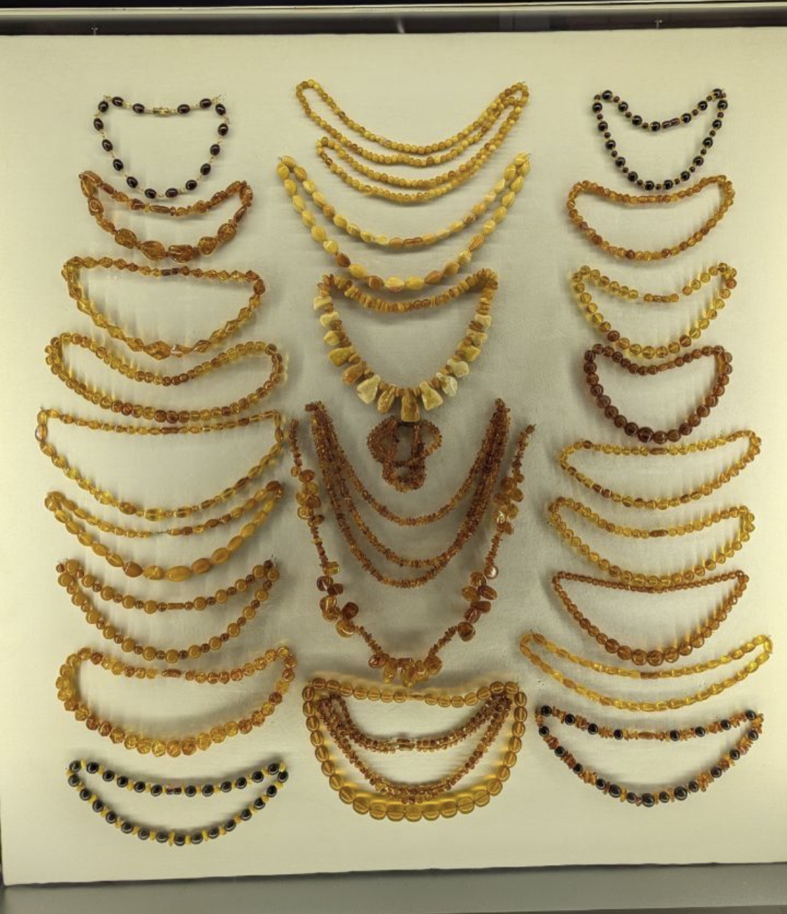
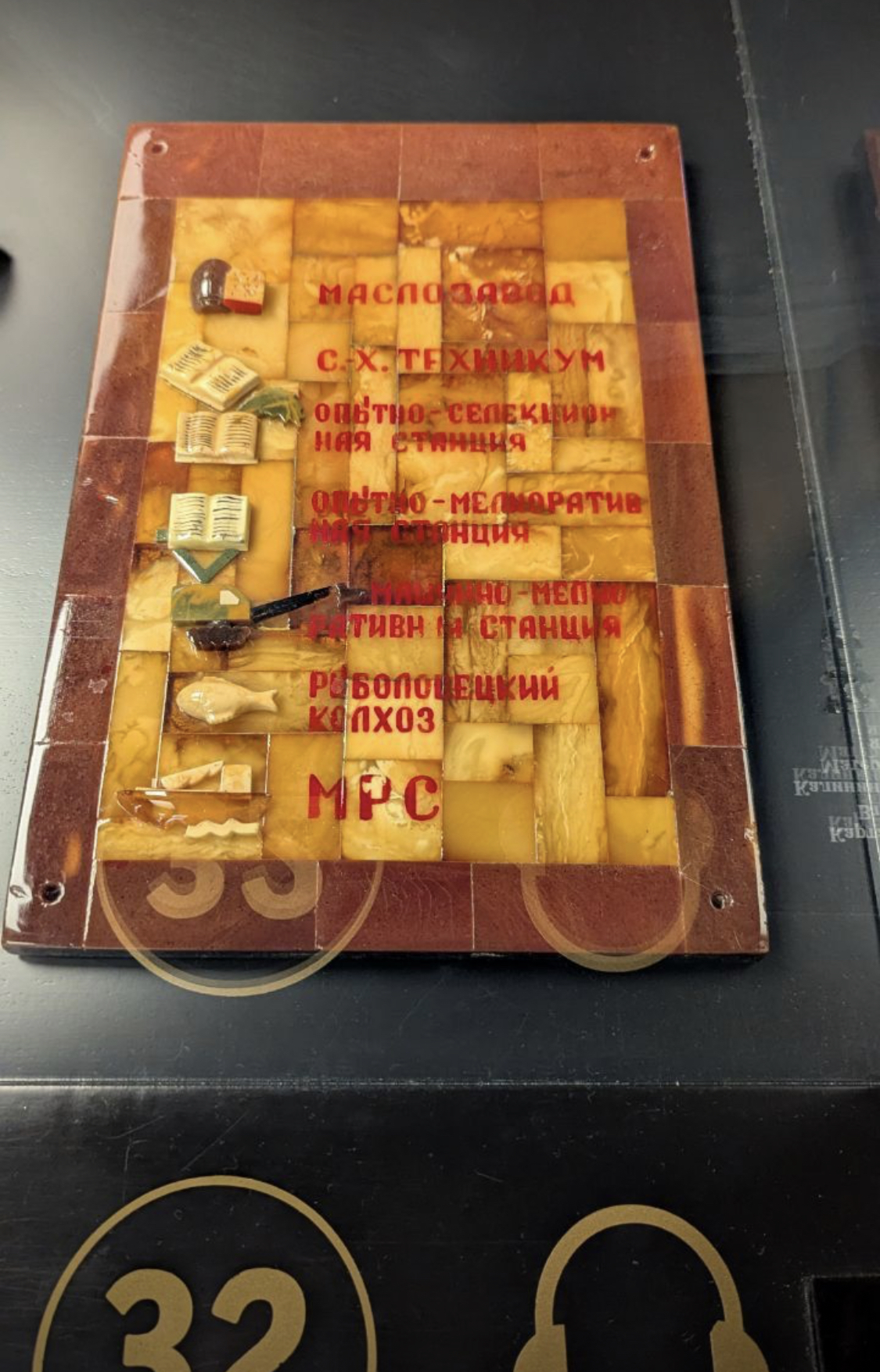
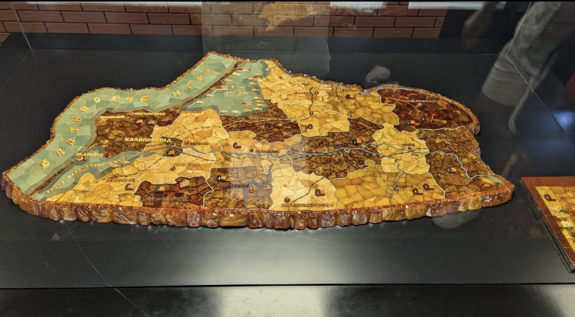
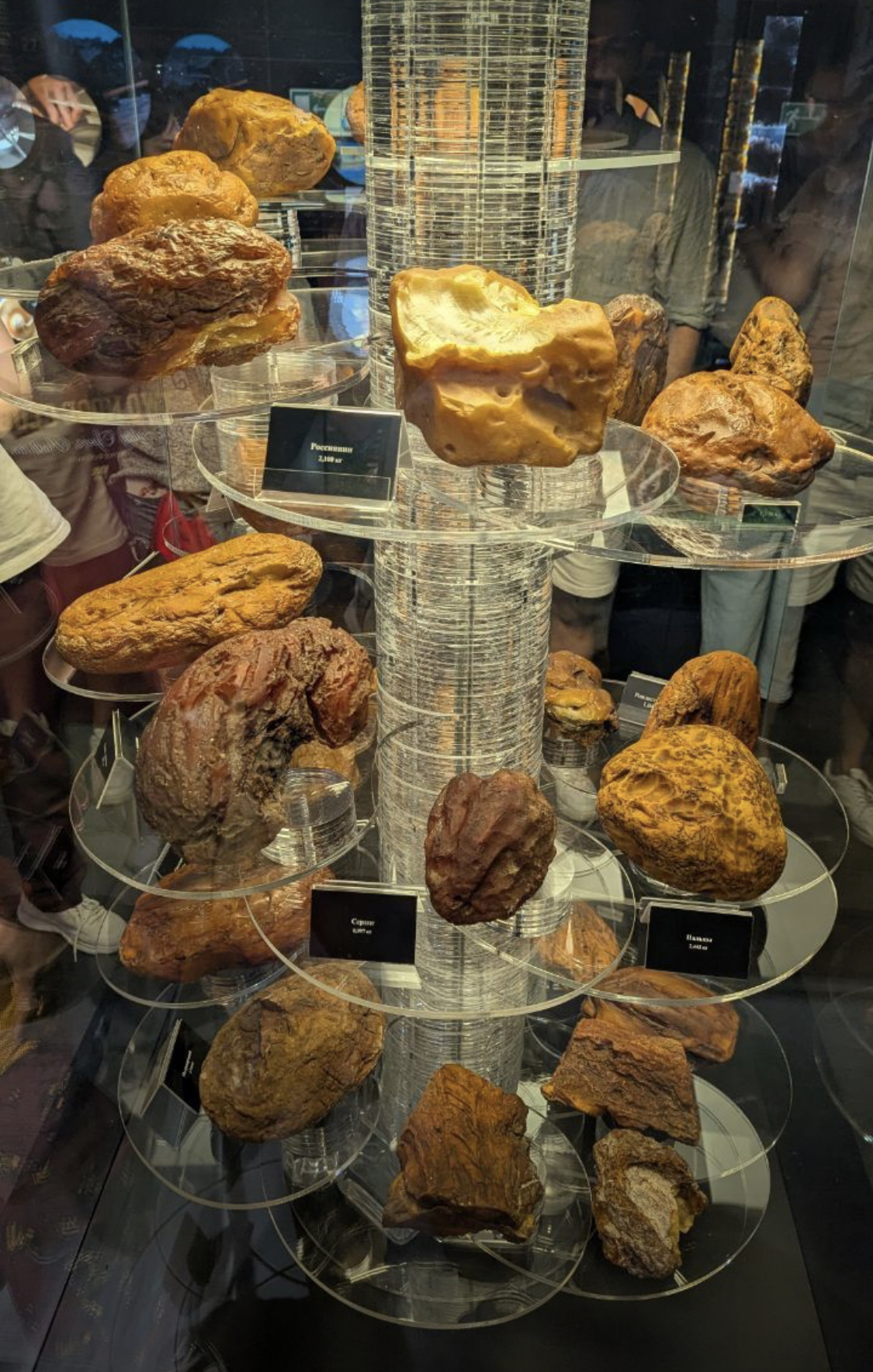
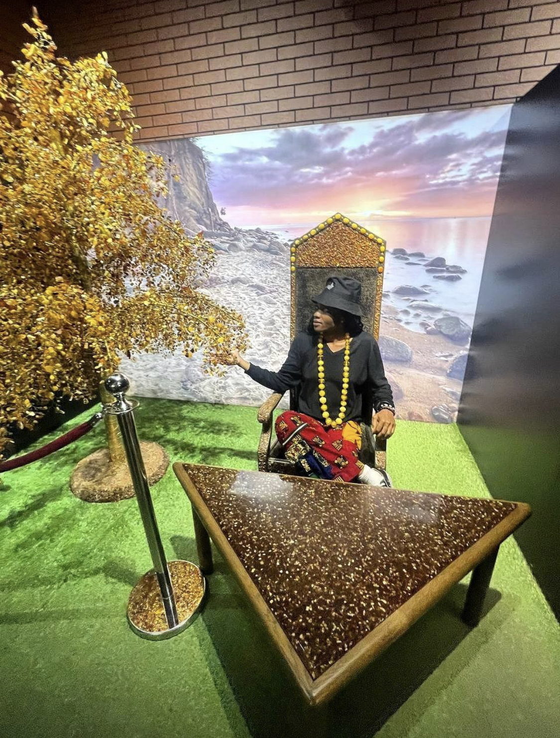
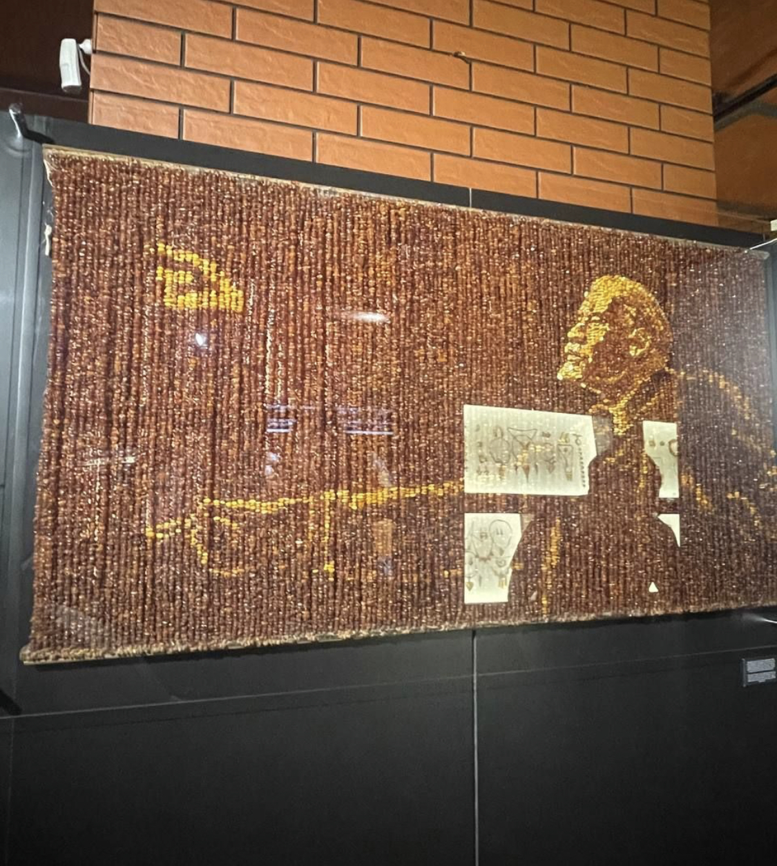
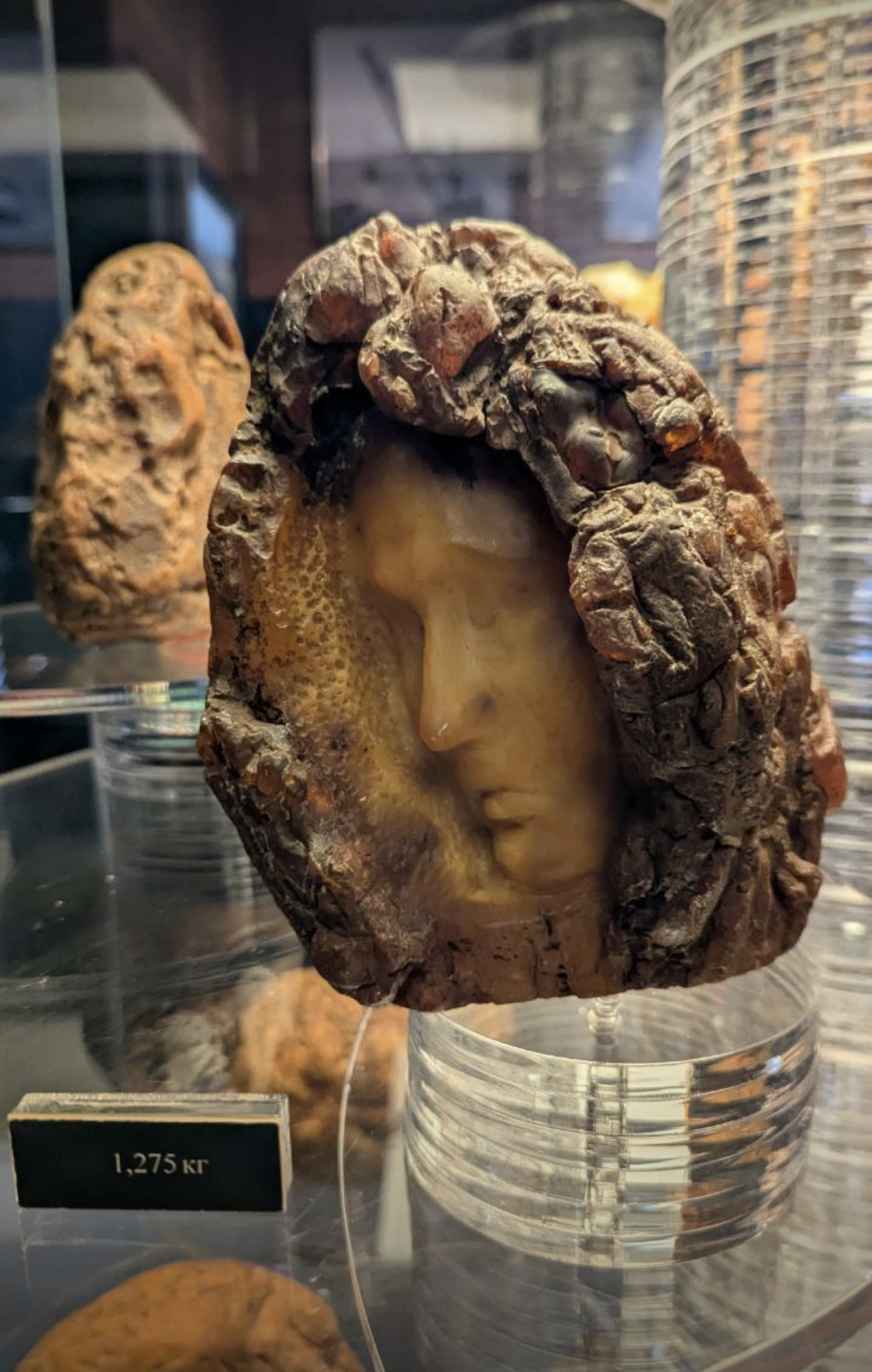
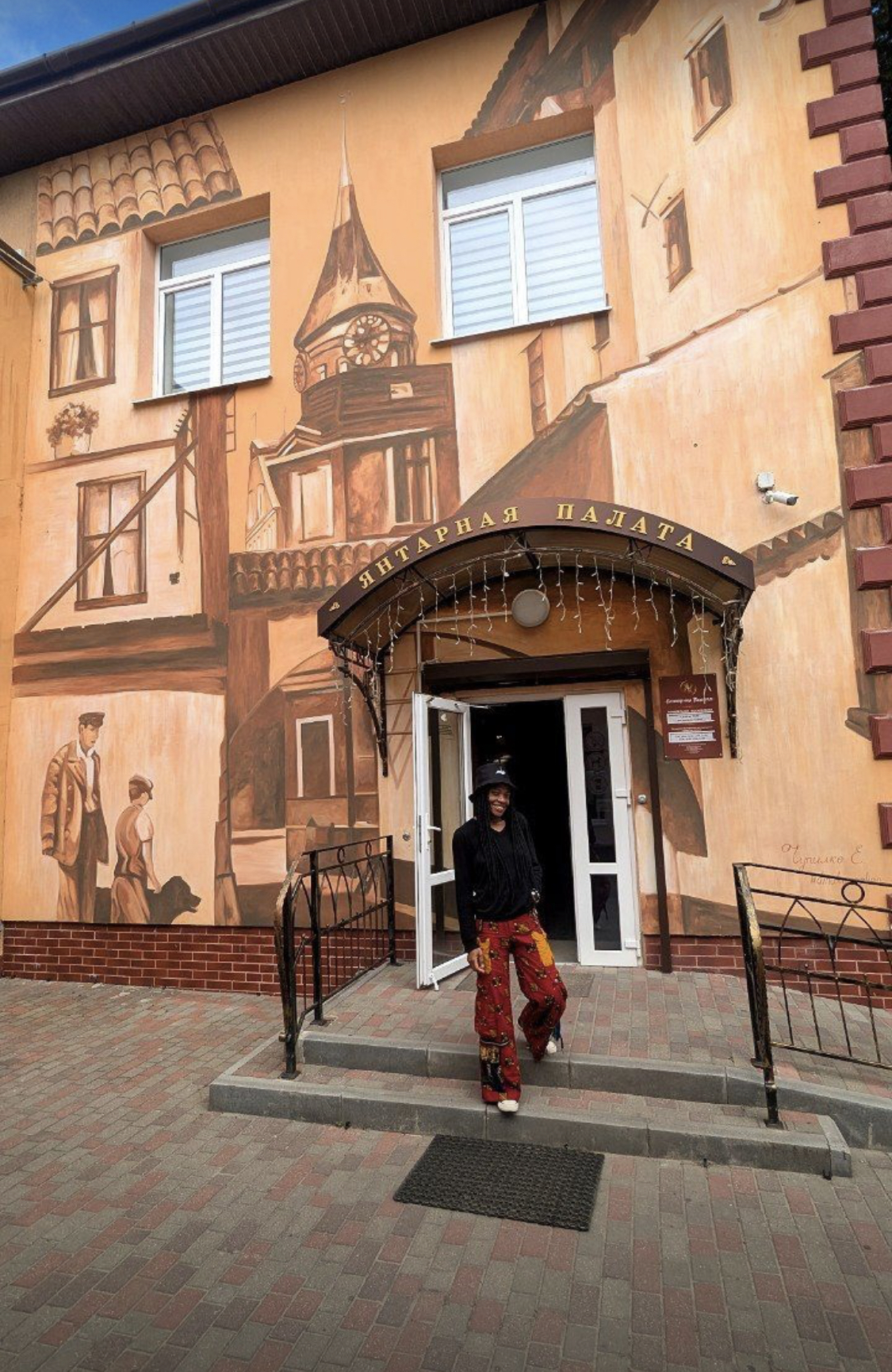
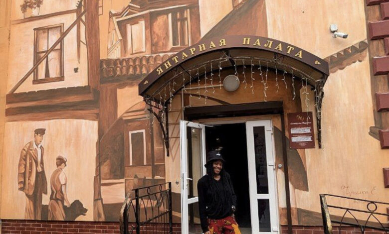
Our journey continued to the Kaliningrad Amber Museum, located in the historic Dohna Tower. This geological and cultural marvel showcases over 14,000 pieces of amber, including a breathtaking 4.28 kg nugget. Visitors can explore exhibits that trace amber’s formation, archaeological significance, and artistic use in everything from jewelry to the mythic Amber Room.
The Earth as Partner, Not Just Platform
Whether decoding ancient sediment layers beneath Lagos or admiring fossilised resin in Kaliningrad, one thing is clear: geology doesn’t just support our cities—it shapes their destiny.
Our cities are not built in spite of the Earth—they are built with it. To plan wisely, we must look below the surface and listen to what the ground is telling us.